Description
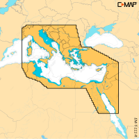
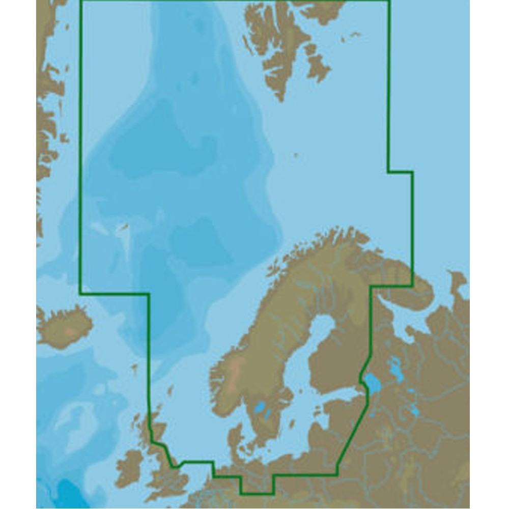
The C-Map M-EN-M019-MS Mega-Wide MAX is an electronic chart for the North and Baltic Seas. The MAX format combines chart accuracy and detail with a large set of value-added data, including photos, diagrams and perspective views. It is supplied on a Micro SD card with a full SD adapter.
Features
- Dynamic NavAids shown on-screen as they appear on the chart
- Guardian Alarm and Route-check
- Detailed harbour charts and C-Marina port database
- Dynamic tide and currents, with current strength and direction at a glance
- Depths and land elevation, with points of interest and road mapping
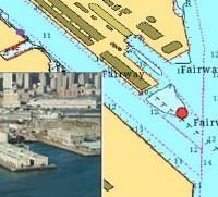
- Perspective view, photos and diagrams, plus aerial photographs of an inlet before you enter
- Multi-language support
Specifications
| Part number | M-EN-M019-MS |
| UPC | 8053800670067 |
| Brand | C-Map |
| Product | Mega-Wide MAX |
| Coverage | North and Baltic Seas |
| Format | MAX |
| Supplied on | Micro SD card with full SD adapter |
What’s included
- Micro SD card with full SD adapter
Compatibility
Works with compatible chart plotters. Specify the make and model of your plotter when ordering so the correct format can be supplied.