Description
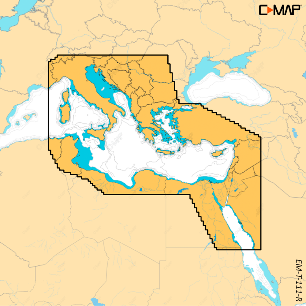
C-MAP REVEAL X East Mediterranean is the X generation of C-MAP electronic charts for the East Mediterranean, Black and Caspian Seas. It carries over the features of DISCOVER X and adds Shaded Relief, Satellite Overlay and an all-new Map Inspector Tool. Each chart comes with 12 months of free online updates.
Features
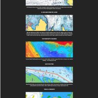
- Shaded Relief shows 3D rendered land and underwater elevation, including areas of ultra-high resolution.
- Satellite Overlay adds satellite imagery to the chart, so you can feel better connected to unfamiliar surroundings.
- The Map Inspector Tool opens with a simple touch of the screen.
- Tides and currents appear as detailed projections of water level and tidal data to help plan your day.
- Detailed marina port plans show slip spaces, restricted areas and other vital information for thousands of marinas.
- High-resolution bathymetry shows accurate contours down to 1-foot to help you find shallows, drop offs, ledges and humps.
- Subscription-free autorouting plots the shortest, safest route from detailed chart data and your vessel information.
- Custom depth shading lets you set a clear visual safety depth or create your own shading.
Specifications
| Part number | M-EM-T-111-R-MS |
| UPC | 9420064128778 |
| Brand | C-MAP |
| Chart series | C-MAP REVEAL X |
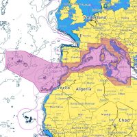
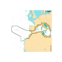
| Coverage | East Mediterranean, Black Caspian Seas |
| Chart updates | 12 months free online updates |
| Compatible units | Simrad NSX, NSX Ultrawide, NSS 4, NSO 4; B&G Zeus S, Zeus S Ultrawide, Zeus SR, Zeus SRX |
What’s included
- SD CMT sticker
- 64GB micro SD card, blank, with adapter
- ECOPACK sticker for EAN barcode
- Eco packaging REVEAL X
- East Mediterranean, Black Caspian Seas
Compatibility
The C-MAP REVEAL X East Mediterranean chart is exclusively for the Simrad NSX, NSX Ultrawide, NSS 4 and NSO 4, and the B&G Zeus S, Zeus S Ultrawide, Zeus SR and Zeus SRX.