Description
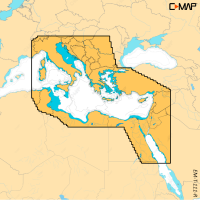
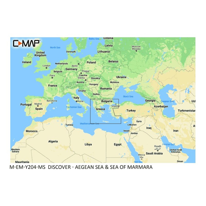
C-MAP M-EM-Y204-MS DISCOVER is an electronic chart for the Aegean Sea and Sea of Marmara, for cruising, fishing or sailing. It combines C-MAP High-Res Bathymetry with integrated Genesis data, full-featured Vector Charts, Custom Depth Shading and Tides & Currents. The chart includes 12 months of free online updates, and Easy Routing needs no subscription.
Features
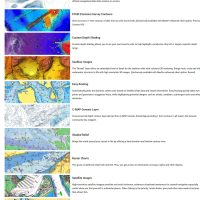
- Full-featured Vector Charts use accurate, up-to-date detail derived from official Hydrographic Office information.
- High-Res Bathymetry layer helps you identify shallow areas, drop-offs, ledges, holes or humps, with integrated Genesis detail.
- Custom Depth Shading: set a clear safety depth, keep a paper-like view or create your own shading.
- Easy Routing plots the shortest, safest route from detailed chart data and your personalized vessel information.
- Tides & Currents show projections of water level and direction to help you plan your day.
- Detailed marina port plans cover thousands of marinas, with slip spaces, restricted areas and other navigation information.
- Harbor & Approach Details give a level of detail that lets you approach any harbor and inlet with confidence.
- 12 months of free online updates keep your chart current.
Specifications
| Brand | C-MAP |
| Part number | M-EM-Y204-MS |
| Coverage | Aegean Sea & Sea of Marmara |
| Online updates | 12 months, free |
| Subscription | Not required for Easy Routing |
Compatibility
Compatible with Lowrance, Simrad & B&G Chartplotters.