Description
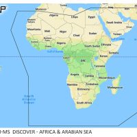
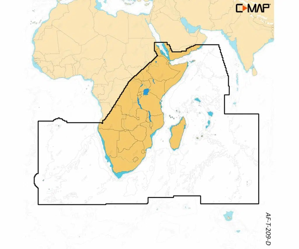
C-MAP Discover X M-AF-T-209-D-MS is an electronic chart covering South and East Africa, part of the X generation of C-MAP charts. It uses the latest vector data, with Day and Night modes, a new Map Inspector Tool and integration with the Simrad Companion App. The chart is made exclusively for the Simrad NSX.
Features
- Full-featured vector charts with accurate, up-to-date detail from official hydrographic office sources.
- High-Res Bathymetry with contours down to 1-foot, showing shallows, drop offs, ledges, holes and humps.
- Subscription-free Autorouting plots the shortest, safest route from detailed chart data and your vessel information.
- Custom Depth Shading sets a clear visual safety depth, or lets you create your own shading.
- Day and Night modes for navigating whatever the weather or time of day.
- Tides and Currents projections of water level and tidal data to help you plan your day.
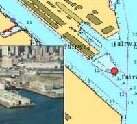
- Detailed marina port plans with slip spaces, restricted areas and other vital information.
- Smooth Simrad Companion App integration: plan trips, review tracks and plot waypoints, then sync to your NSX.
Specifications
| Part number | M-AF-T-209-D-MS |
| UPC | 9420064128563 |
| Coverage | South and East Africa |
| Platform | Exclusively for Simrad NSX |
| Bathymetry contours | Down to 1-foot |
| Autorouting | Subscription-free |
| Updates | 12 months free online updates |