Description
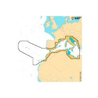
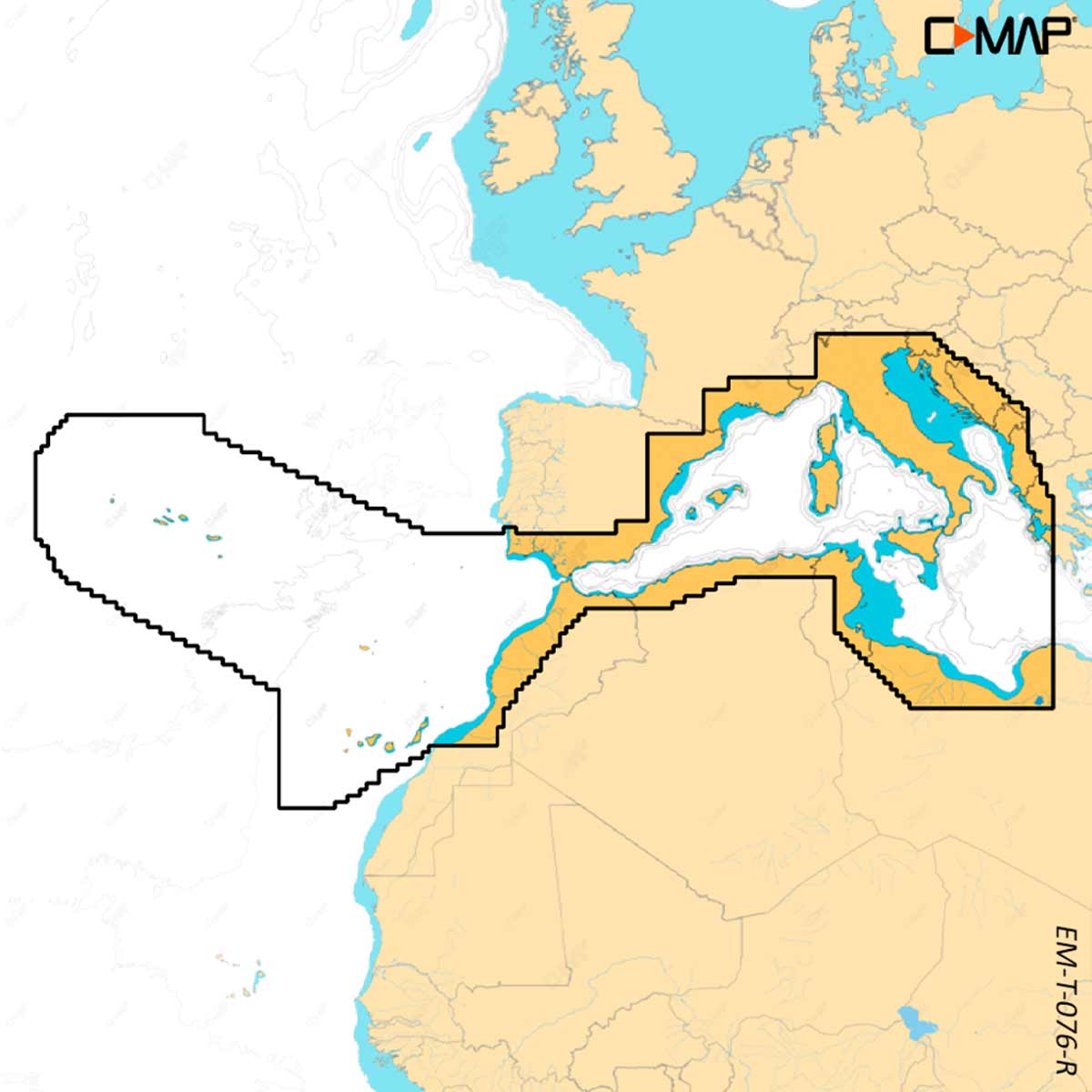
C-MAP REVEAL X M-EM-T-076-R-MS is a West Mediterranean electronic chart from the X generation of C-MAP charts. It brings over the features of DISCOVER X and adds the all-new Map Inspector Tool, Shaded Relief and Satellite Overlay. It is exclusively for Simrad NSX and comes with 12 months of free online updates.
Features
- Shaded Relief shows 3D rendered land and underwater elevation, including areas of ultra-high resolution.
- Satellite Overlay helps you feel more connected to your surroundings in an unfamiliar place.
- Map Inspector Tool gives quick access to tides, currents and detailed marina port plans with a touch of the screen.
- High-res bathymetry shows accurate contours down to 1-foot and includes C-MAP HRB data.
- Auto routing plots the shortest, safest route using chart detail and your vessel details, with no subscription.
- Day and night modes, custom depth shading and harbour and approach details are included.
- Connects to the Simrad Companion App to plan trips and plot waypoints, then sync them to your NSX.
Specifications
| Brand | C-MAP |
| Part number | M-EM-T-076-R-MS |
| UPC | 9420064128754 |
| Coverage | West Mediterranean |
| Size | Large |
| Chart type | Full-featured vector charts |
| Free online updates | 12 months |
| Exclusively for | Simrad NSX |