Description
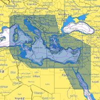
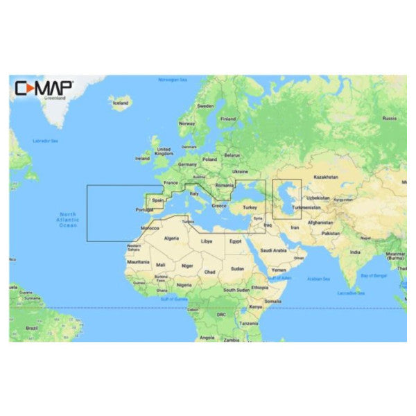
C-MAP M-EM-Y045-MS is a MAX-N+ C chart card covering Southern Europe, including the Mediterranean Sea, Tunisia and the African Mediterranean coast. It shows ports, depths, buoys, wrecks and other navigation data in detail. The card is in MSD format with an SD card adapter and is suitable for various card plotters.
Features
- Covers Southern Europe, including the Mediterranean Sea, Tunisia and the African Mediterranean coast.
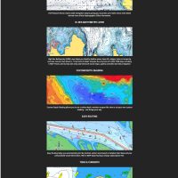
- Detailed information on ports, depths, buoys, wrecks and other important navigation data.
- Shows bays, anchorages and ports.
- Clear display, easy to read, even on small screens.
- Download the latest card data from the C-MAP website to keep the chart up to date.
Specifications
| Brand | C-MAP |
| Product code | M-EM-Y045-MS |
| UPC (EAN) | 8053800670517 |
| Region | Southern Europe Continental |
| Type | MAX-N+ C |
| Format | MSD card (with SD card adapter) |
| Material | Plastic |
| Colour | Black |
| Weight | 0.1 kg |
Compatibility
The C-MAP M-EM-Y045-MS card is suitable for various card plotters. Check compatibility with your device before you buy.