Description
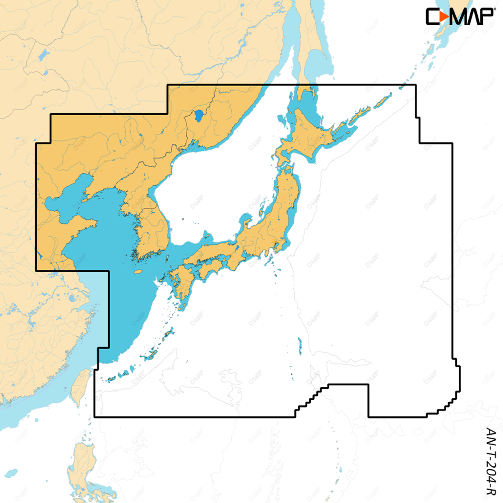
C-MAP REVEAL X Japan, North and South Korea is an electronic chart on a microSD/SD card, covering Japan, North and South Korea. It belongs to the C-MAP REVEAL X family, the X generation of C-MAP charts, with enhanced visual detail and premium presentation features where available for the selected coverage area.
Features
- Shaded Relief shows 3D rendered land and underwater elevation, including areas of ultra-high resolution.
- Satellite Overlay helps you feel better connected to your surroundings in an unfamiliar place.
- The Map Inspector Tool gives quick access to tides, currents and detailed marina port plans with a touch of the screen.
- High-Res Bathymetry shows accurate contours down to 1-foot to help you identify shallows, drop-offs, ledges, holes or humps.
- Full-featured vector charts use accurate, up-to-date detail from official hydrographic office sources.
- Subscription-free autorouting plots the shortest, safest route from detailed chart data and your vessel information.
- Links to the Simrad Companion App, so you can plan trips, review tracks and sync them to your NSX.
- Includes 12 months of free online updates.
Specifications
| Part number | M-AN-T-204-R-MS |
| Model | AN-T-204-R |
| UPC | 9420064128617 |
| Brand | C-MAP |
| Chart family | C-MAP REVEAL X |
| Coverage | Japan, North and South Korea |
| Format | microSD/SD card |
| Online updates | 12 months free online updates |
Compatibility
This chart is made only for the Simrad NSX, NSX Ultrawide, NSS 4 and NSO 4, and the B&G Zeus S, Zeus S Ultrawide, Zeus SR and Zeus SRX.