Description
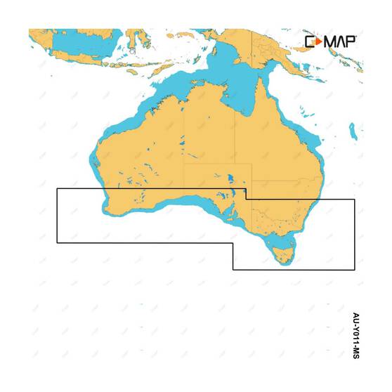
C-MAP Reveal Cervantes to Seal Rocks is an electronic chart for the coastline from Cervantes to Seal Rocks, for cruising, fishing and sailing in this area. It pairs shaded relief and High-Res Bathy mapping with vector charts, Easy Routing and tides and currents data, for Lowrance, Simrad and B&G chartplotters.
Features
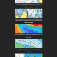
- Shaded Relief and Reveal Seafloor Imagery show 3D land and seabed detail
- High-Res Bathy layer, with integrated Genesis data, shows shallow zones, humps, holes and underwater features
- Full-featured vector charts built from official Hydrographic Office data
- Easy Routing plots the safest and shortest route automatically
- Custom Depth Shading highlights safe areas and tailors the view to your vessel
- Satellite overlay and aerial photography of marinas, harbours and key landmarks
- Detailed tides and currents data, plus marina port plans with harbour approach info
Specifications
| Product name | C-MAP Reveal Cervantes to Seal Rocks Electronic Chart |
| Brand | C-MAP |
| Coverage | Cervantes to Seal Rocks |
| UPC | 9420024188941 |
Compatibility
Built to work with Lowrance, Simrad and B&G chartplotters.