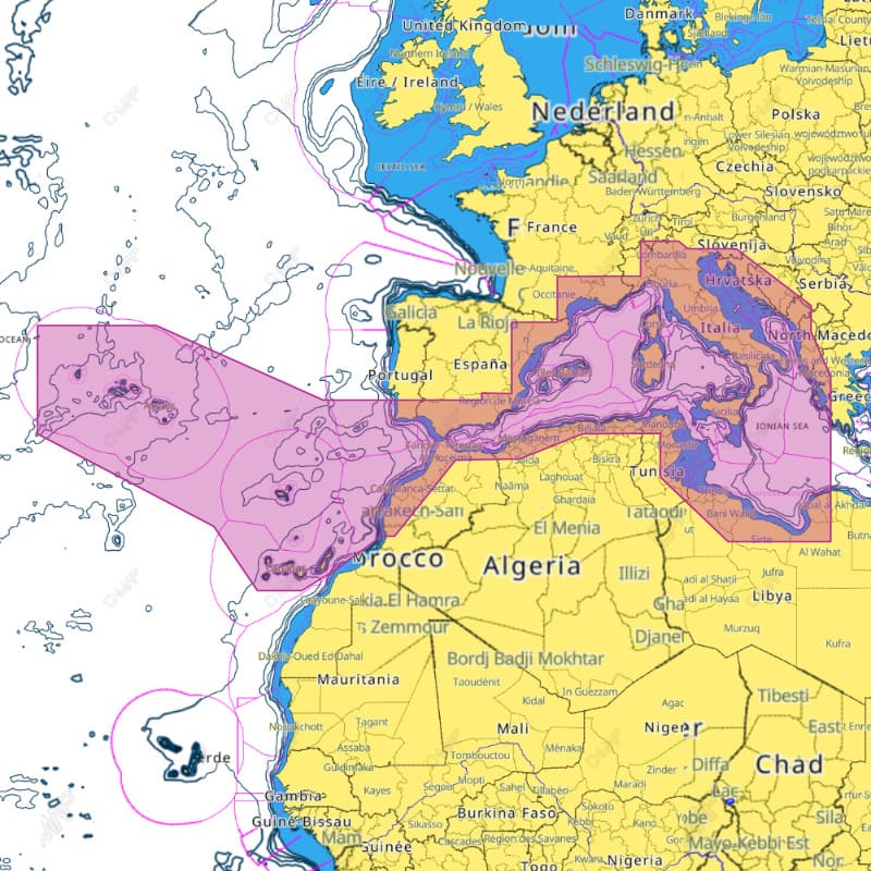
Description
The C-MAP REVEAL M-EM-Y076-MS is an electronic marine chart covering the South-West European coasts. It comes on a microSD card with an SD adapter and is for use with Lowrance, B&G and Simrad chartplotters. The chart combines vector navigation data with shaded relief and 3D views of land and underwater elevations.
Features
- Vector charts based on official hydrographic office data for precise, up-to-date navigation details.
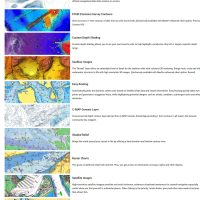
- Shaded relief shows the seabed and shore slopes in three dimensions.
- 3D views of land and underwater elevations, with Ultra-High Bathymetric imagery in exclusive areas.
- High-resolution bathymetry with contour lines down to a 1-foot level, showing shallow areas and drop-offs.
- Subscription-free Easy Routing plots the safest and shortest course based on your vessel information.
- Tide information with high and low tide times, current data, a tide calendar and a current atlas.
- Satellite imagery, plus photos of marinas, harbors and inlets.
- Custom Depth Shading to set your own safety depth and viewing preferences.
Specifications
| Brand | C-MAP |
| Series | C-MAP REVEAL |
| Part number (MPN) | M-EM-Y076-MS |
| Chart ID | EM-Y076 |
| UPC (EAN) | 8053800670524 |
| Coverage | South-West European Coasts |
| Format | microSD card with SD adapter |
| Chartplotters | Lowrance, B&G and Simrad |
What’s included
The chart is supplied on a microSD card, with an SD adapter.
Compatibility
Suitable for Lowrance, B&G and Simrad chartplotters, including modern chartplotters and multifunction displays.