Description
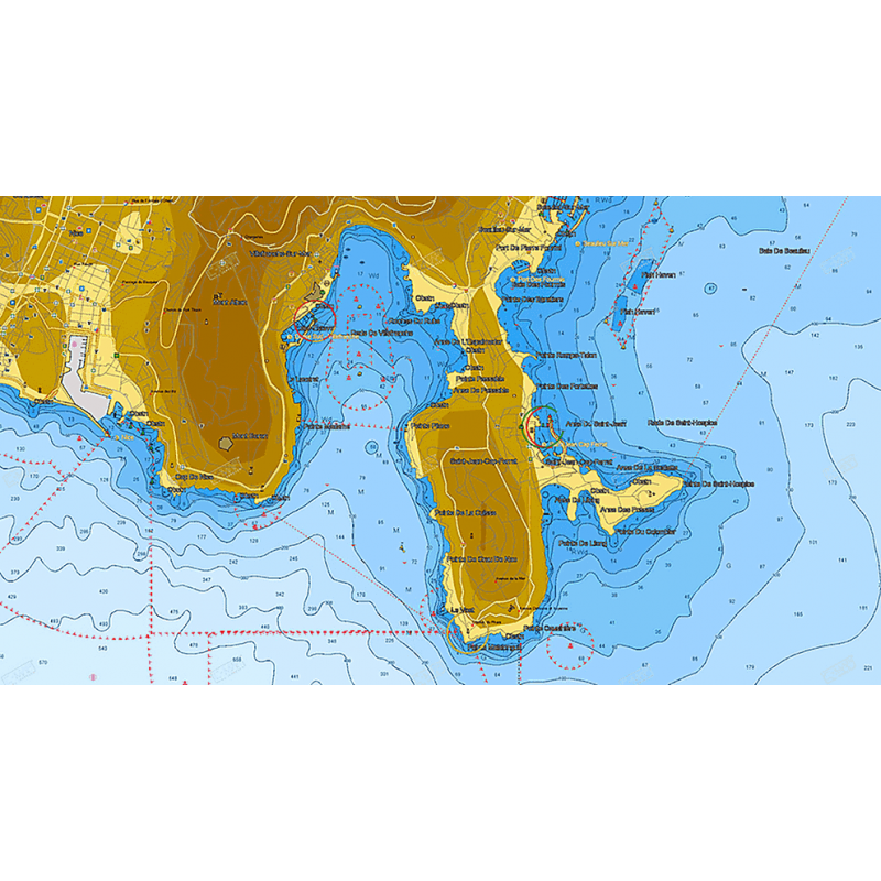
The C-MAP M-EN-D309-MS is an electronic chart for the Gulf of Finland and Aaland Archipelago, part of the C-MAP 4D range. It combines vector chart data with raster charts, and you can view the charts in 2D or 3D. Its tools include a high-resolution bathymetry layer, satellite overlay and detailed marina port plans.
Features
- Vector chart data combined with Dynamic Raster Charts, viewable in 2D or 3D.
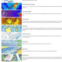
- High-Res Bathymetry (HRB) layer helps identify shallow areas, drop offs, ledges, holes or humps.
- 3D views of land elevation and bottom contours.
- Satellite overlay of high-resolution imagery for real-world reference.
- Easy Routing plots routes from detailed chart data and your vessel information.
- Depth shading to tell different water depths apart.
- Detailed marina port plans with slip spaces and restricted areas.
- Tides and currents projections show water level and tide direction.
Specifications
| Part number | M-EN-D309-MS |
| UPC | 9420024180716 |
| Brand | C-MAP |
| Product line | C-MAP 4D |
| Coverage | Gulf of Finland & Aaland Archipelago |
| Condition | New |