Description
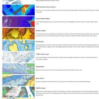
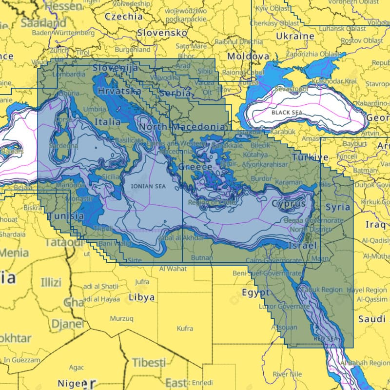
C-MAP DISCOVER X East Mediterranean is an electronic chart for the East Mediterranean, supplied on a microSD card. It is part of the C-MAP X range and presents chart data dynamically, with a clear view at all zoom levels and Day and Night modes. It adds high-resolution Bathymetry, a Map Inspector Tool, Custom Depth Shading and Tides & Currents.
Features
- Dynamic presentation with a clear view at all zoom levels.
- Day and Night modes, plus visibility and usability modes for different lighting and weather.
- High-resolution Bathymetry and a Map Inspector Tool.
- Custom Depth Shading and Tides & Currents.
- Subscription-free Autorouting.
- 12 months of free online updates.
- Touch-screen access to locations, POIs, tides, channels and more.
- Vector chart detail sourced officially, including from hydrographic offices.
Specifications
| Product | C-MAP DISCOVER X East Mediterranean |
| Part number | M-EM-T-111-D-MS |
| UPC | 9420064128761 |
| Coverage | East Mediterranean |
| Chart line | DISCOVER X |
| Format | microSD card |
| Updates | 12 months of free online updates |
What’s included
- C-MAP DISCOVER X East Mediterranean chart on a microSD card
Works with
Works with the C-MAP-powered Simrad and B&G Companion Apps for trip planning, track review and waypoint plotting, with sync to NSX or Zeus S.