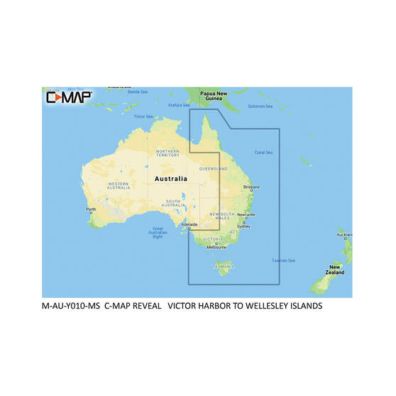
Description
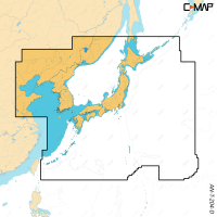
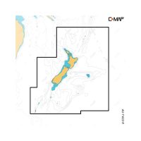
C-MAP REVEAL Y010 is a C-MAP electronic chart for cruising, fishing and sailing, covering Victor Harbor to Wellesley Islands. It adds Shaded Relief with Reveal Seafloor Imagery, Aerial Photography, Satellite Overlay and Dynamic Raster Chart presentation to the core C-MAP DISCOVER features. It also includes C-MAP High-Res Bathy with integrated Genesis data.
Features
- Shaded Relief shows 3D rendered land and underwater elevation, including Ultra-High-Res Bathymetric seafloor imagery.
- Full featured vector charts drawn from official Hydrographic Office information.
- High-Res Bathy shows shallow areas, drop-offs, ledges, holes and humps, with integrated Genesis data.
- Custom Depth Shading sets a clear safety depth, keeps a paper-like view or lets you make your own shading.
- Easy Routing plots the shortest, safest route from chart data and your vessel information, with no subscription.
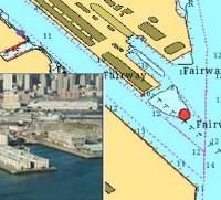
- Aerial photography and satellite overlay show marinas, harbors, inlets and the surroundings of unfamiliar places.
- Detailed Marina Port Plans show slip spaces and restricted areas for thousands of marinas.
- Includes 12 months of free online updates.
Specifications
| Brand | C-MAP |
| Product line | REVEAL |
| Model | Y010 |
| SKU | M-AU-Y010-MS |
| UPC | 9420064103942 |
| Product type | Electronic chart |
| Coverage | Victor Harbor to Wellesley Islands |
| Online updates | 12 months free |
Compatibility
The C-MAP REVEAL Y010 is compatible with Lowrance, Simrad and B&G chartplotters.
Not compatible with NSX models.
Before you order
Please check and order correctly, as C-MAP REVEAL Y010 cards are not returnable.