Description
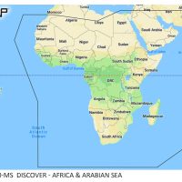
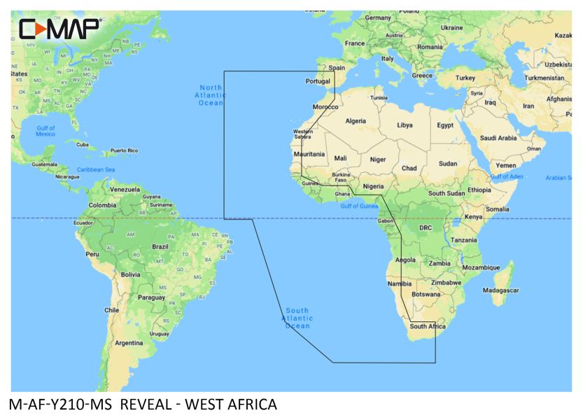
The C-MAP REVEAL West Africa M-AF-Y210-MS is a C-MAP electronic marine chart covering West Africa. It adds 3D shaded relief of land and underwater terrain, with full-featured vector chart detail, high-resolution bathymetry and tides and currents. Custom depth shading lets you set a safety depth or keep a paper-like view.
Features
- 3D-rendered land and underwater elevation data shown as shaded relief.
- Full-featured vector charts with accurate, up-to-date detail from official hydrographic sources.
- High-resolution bathymetry layer with contour lines at a detail depth of up to 1 foot.
- Custom depth shading: set a safety depth, keep a paper-like view or create your own shading.
- Easy Routing plots the shortest, safest route from detailed chart data and your vessel information, always free of subscription costs.
- Tides and currents show projections of water level and tidal direction to help plan your day.
- Detailed marina and port plans show boat slips, restricted areas and other navigation information.
- 12 months of free online updates are included.
Specifications
| Brand | C-MAP |
| Chart family | REVEAL |
| Coverage | West Africa |
| Manufacturer product ID | M-AF-Y210-MS |
| UPC | 8053800670715 |
| Weight | 0.3 kg |