Description
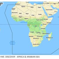
C-MAP REVEAL South & East Africa is an electronic marine chart, part M-AF-Y209-MS, for compatible chartplotters. It covers waters from Southern Angola to Oman, including Namibia, South Africa, Zimbabwe, Mozambique, Tanzania, Kenya, Comoros, Reunion, Madagascar and Mauritius. The chart does not include inland waterways.
The chart includes Shaded Relief, which adds 3D rendered land and underwater elevation, and a first-year update subscription.
Features
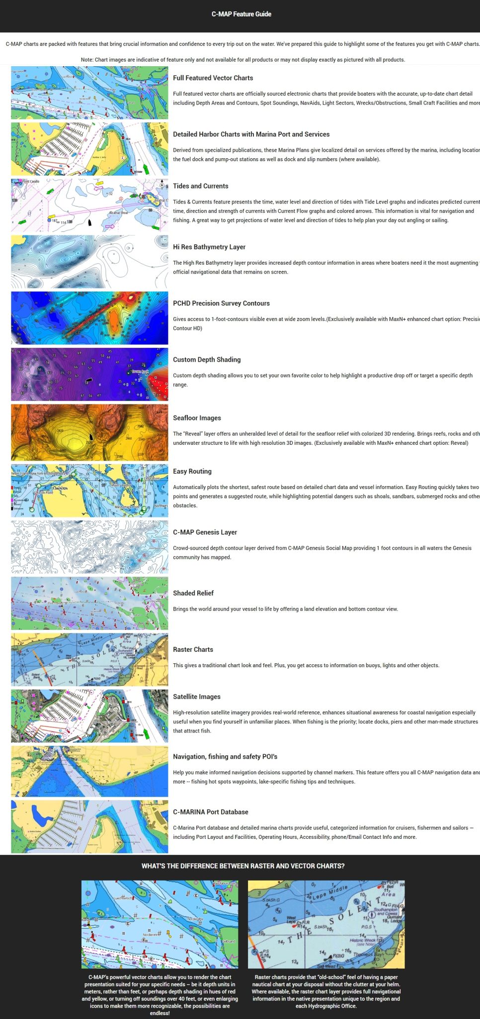
- Shaded Relief adds 3D rendered land and underwater elevation, with ultra-high-resolution seafloor imagery in some areas.
- Hi-Res Bathymetry makes shallow spots, drop-offs, ledges, holes and humps easier to pick out.
- Full-featured vector charts built from official hydrographic office information.
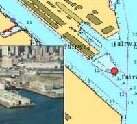
- Aerial photography of thousands of marinas, harbours, inlets and other navigational features.
- Detailed marina port plans show slip spaces, restricted areas and other navigation information.
- Custom Depth Shading lets you set a safety depth, keep a paper-like view or create your own shading.
- Satellite overlay shows imagery of your surroundings when you are in unfamiliar water.
- Includes 12 months of free online updates to keep the chart current.
Specifications
| Part number | M-AF-Y209-MS |
| UPC | 8053800670708 |
| Brand | C-MAP |
| Area | Southern Angola to Oman |
| Format | Micro SD card |
| Chart type | Shaded Relief marine chart |
| Updates | 1st year update subscription, 12 months of free online updates |
| Inland waterways | Not included |
What’s included
- C-MAP REVEAL chart on a Micro SD card
- Full SD adapter
- First-year update subscription
Compatibility
Compatible with HDS Pro, HDS Live, HDS Carbon, HDS Gen 3, Elite FS, Elite Ti2 and Elite Ti, and with certain Simrad and B&G models. Not compatible with Eagle, Hook Reveal or Hook2.