Description
The C-MAP DISCOVER M-AF-Y200-MS is a marine chart on a microSD card that covers the coast from Cameroon to Delgoa Bay. It is made for cruising, fishing or sailing. It comes with full-featured vector charts, High-Res Bathymetry and subscription-free Easy Routing. The chart includes 12 months of online updates. It does not include inland waterways.
Features
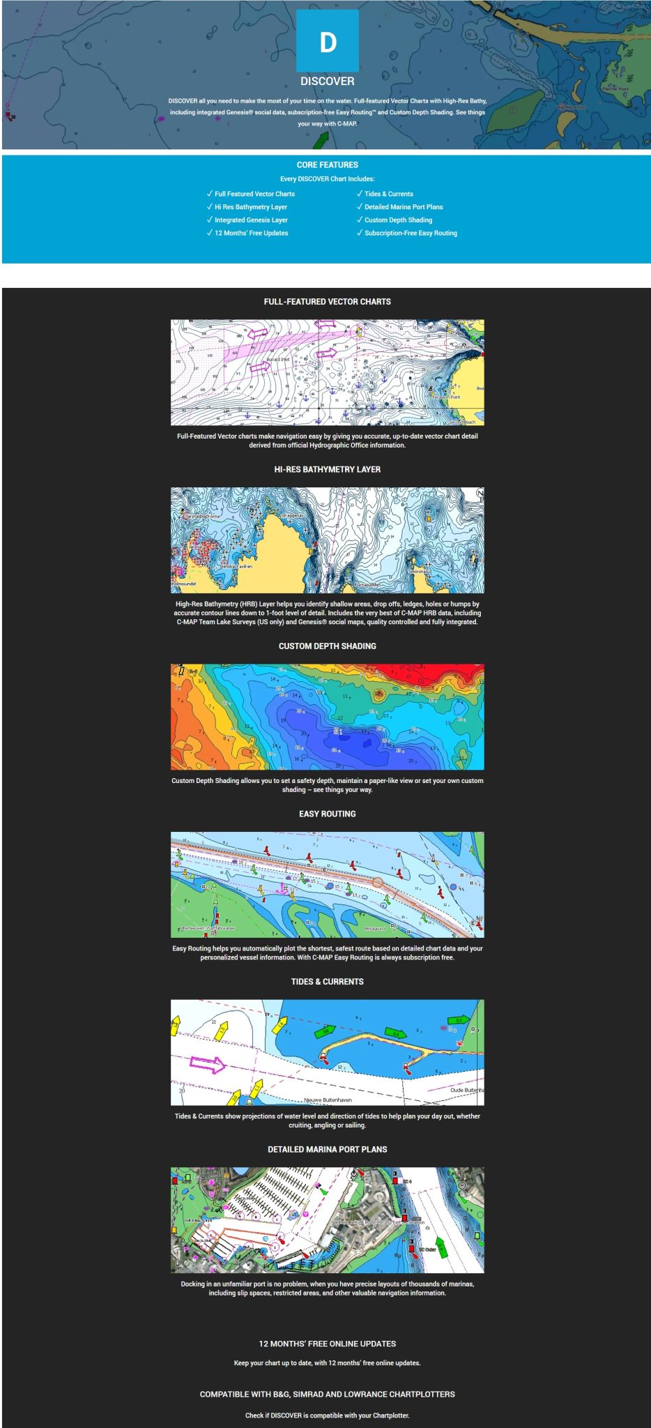
- Full-featured vector charts with a High-Res Bathymetry layer that shows shallow areas, drop-offs, ledges, holes and humps.
- Integrated Genesis® social data, with quality-controlled Genesis® detail built into the High-Res Bathymetry layer.
- Custom Depth Shading lets you set a clear safety depth, keep a paper-like view or create your own shading.
- Easy Routing plots the shortest, safest route from detailed chart data and your personalized vessel information, with no subscription.
- Tides and currents projections show the water level and the direction of the tides.
- Detailed marina port plans cover thousands of marinas, including slip spaces and restricted areas.
- Harbour and approach details give close coverage of harbours and inlets before you arrive.
Specifications
| Product | C-MAP DISCOVER |
| Part number | M-AF-Y200-MS |
| Coverage | Cameroon to Delgoa Bay |
| Format | Micro SD card |
| Updates | 12 months of online updates included |
| Not covered | Inland waterways |
| Brand | C-Map Marine Cartography |
What’s included
- C-MAP DISCOVER chart on a Micro SD card
- First year update subscription (12 months of online updates)
Compatibility
Compatible with Lowrance, Simrad and B&G chartplotters. Compatible with HDS Pro, HDS Live, HDS Carbon, HDS Gen 3, Elite FS, Elite TI2 & Elite Ti, Eagle 5-7-9, Hook Reveal or Hook2 5 – 9. Also compatible with Simrad and B&G models.