Description
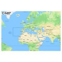
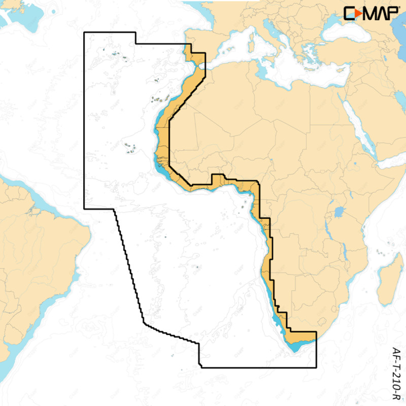
Reveal X West Africa is a C-MAP electronic chart for the West Africa region, made for Simrad NSX and B&G Zeus S chartplotters. It brings the X generation of C-MAP charts to these units, with 3D shaded relief and satellite overlay views. Online updates are included for 12 months.
Features
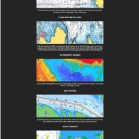
- Shaded Relief shows 3D rendered land and underwater elevation, including areas of ultra-high resolution.
- Satellite Overlay helps you feel connected to your surroundings when you are in an unfamiliar place.
- The Map Inspector Tool gives quick access to chart information with a simple touch of the screen.
- High-Res Bathymetry shows shallows, drop offs, ledges, holes or humps, with contours down to 1-foot.
- Detailed Marina Port Plans show layouts of thousands of marinas, including slip spaces and restricted areas.
- Tides & Currents give projections of water level and tidal data to help you plan your day.
- Autorouting plots a route from detailed chart data and your vessel information, and is subscription free.
- Link to the Simrad Companion App to plan trips, review tracks and plot waypoints, then sync to your NSX.
Specifications
| Brand | C-MAP |
| Model | Reveal X |
| Region | West Africa |
| Part number (MPN) | M-AF-T-210-R-MS |
| UPC | 9420064128594 |
| Online updates | 12 months |
Compatibility
Reveal X West Africa is compatible with the following chartplotters:
- B&G: Zeus S 7/9/12
- Simrad: NSX 3007/3009/3012 and NSX 3012UW/3015UW