Description
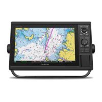
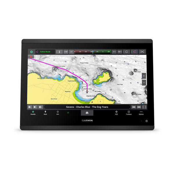
The Garmin GPSMAP 1643xsv is a 16-inch marine chartplotter with built-in sonar and mapping in one unit. It has a high-resolution IPS display, SideVü, ClearVü and traditional CHIRP sonar, and preloaded Garmin Navionics+ coastal and inland charts. Garmin says the screen offers improved sunlight readability and visibility from any angle.
Features
- High-resolution 16-inch IPS display in a slimline design with edge-to-edge glass.
- Built-in Ultra High-Definition SideVü and ClearVü scanning sonar with high-contrast color palettes.
- Traditional CHIRP sonar alongside the SideVü and ClearVü scanning sonar.
- Preloaded Garmin Navionics+ coastal and inland mapping with Auto Guidance+ technology.
- Built-in Wi-Fi pairs with the ActiveCaptain app for OneChart, software updates and more.
- NMEA 2000 and NMEA 0183 networks connect to compatible autopilots, digital switching, weather, VHF and AIS equipment.
- Garmin Sailassist sailing features, including laylines, race start line guidance and an enhanced wind rose.
Specifications
| Brand | Garmin |
| Model | GPSMAP 1643xsv |
| Part number | 010-02919-03 |
| UPC | 753759335076 |
| Display size | 16″ |
| Display type | IPS |
| Sonar | SideVü, ClearVü and Traditional CHIRP |
| Mapping | Preloaded Garmin Navionics+ coastal and inland |
| Wi-Fi | Built-in |
| Network | NMEA 2000 and NMEA 0183 |
Not included / sold separately
- Panoptix or LiveScope transducer for live sonar (transducer required, sold separately).
- Force trolling motor (sold separately).
- Garmin Navionics Vision+ premium chart subscription (optional upgrade).
Compatibility
Garmin lists connections to compatible autopilots, digital switching, weather, the Fusion audio system, VHF and AIS equipment over its NMEA networks. The plotter can also be networked with a Force trolling motor (sold separately) and a compatible Power-Pole shallow water anchoring system.