Description
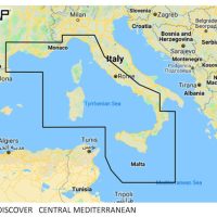
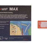
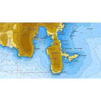
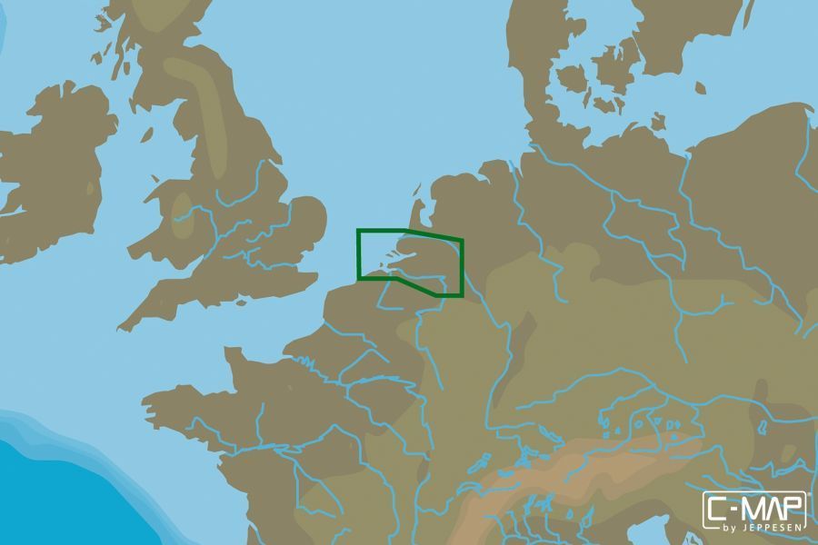
C-MAP MAX LOCAL Netherlands S Katwijk-Oostende is a vector electronic chart on a µSD card with an SD adapter, for use with many common GPS chartplotters. It is part of the C-MAP MAX range, which adds high-resolution photos of harbours, marinas and navigation points.
Features
- Vector chart covering the Katwijk to Oostende area of the Netherlands
- Used with many common chartplotters
- High-resolution photos of harbours, marinas and important navigation points
- Terrain elevation display
- Dynamic Tides & Currents
- Supplied as a µSD card with SD adapter
Specifications
| Maker model number | M-EN-M061-MS |
| UPC / EAN | 9420024183861 |
| Card format | µSD/SD |
| Coverage | Netherlands S Katwijk-Oostende |
| Weight | 0.3 kg |
What’s included
- µSD card with SD adapter
Chartplotter use
Used with many common chartplotters. Check that the card type matches your plotter before ordering.