Description
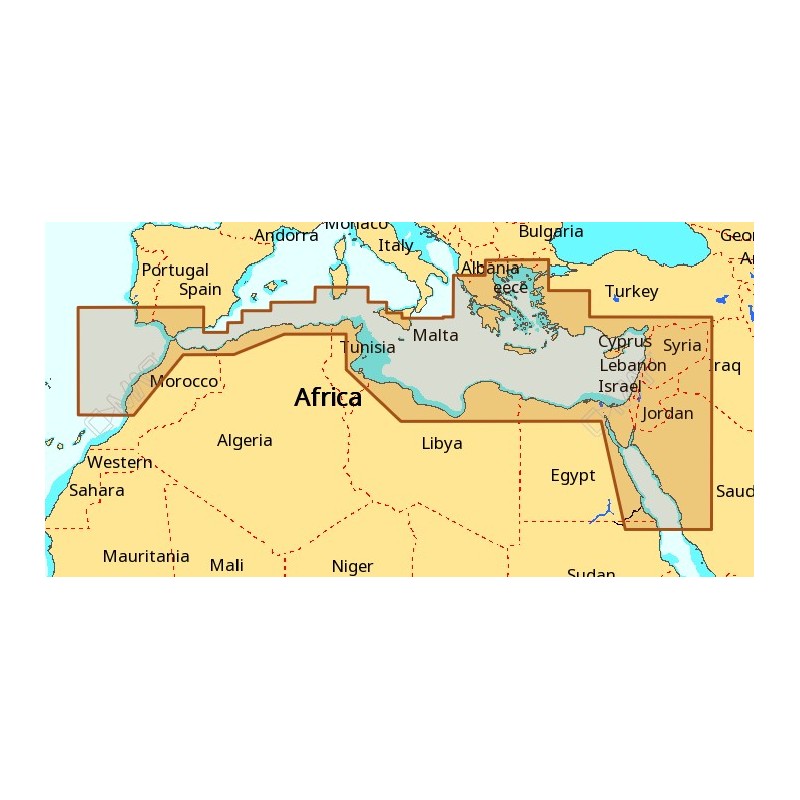
The C-MAP M-EM-M112-MS is an electronic chart covering the South Mediterranean Sea and the Aegean Sea. It combines vector chart data with exclusive Dynamic Raster Charts, and it can be viewed in 2D or 3D with high-resolution satellite images. The chart is updated twice annually.
Features
- Updated twice a year, so the chart detail and information stay current.
- Combines vector chart data with exclusive Dynamic Raster Charts.
- Views in 2D or 3D, with high-resolution satellite images.
- Dynamic NavAids, Dynamic tides and Guardian Alarm included.
- Route-check, detailed marina port plans, photos and diagrams, and points of interest.
- Depths and land elevation, with a perspective view.
- Multi-language capability.
- Where the region applies, specialty data includes Explorer Charts, the C-Marina Port Database, Marine Protected Areas (MPAs), IMRAY and Marina Charts.
Specifications
| Brand | C-MAP |
| Reference | M-EM-M112-MS |
| UPC | 9420024183526 |
| Coverage | South Mediterranean Sea & Aegean Sea |
| Chart series | MAX |
| Updates | Twice annually |
| Imagery | High-resolution satellite images |
Compatibility
Works on dozens of chartplotters from major manufacturers.