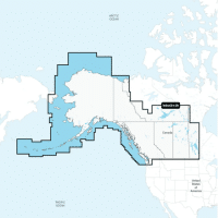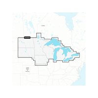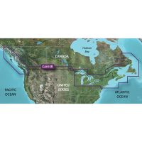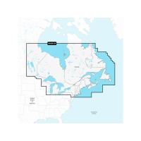

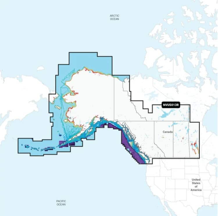
Description
ALL-IN-ONE MAP SOLUTION FOR GARMIN CHARTPLOTTERS
Access detail-rich mapping of coastal features, lakes, rivers and more. Integrated Garmin and Navionics content offers coverage for boaters worldwide.
DAILY CHART UPDATES
Charts are constantly being enhanced with new and amended content — as many as 5,000 updates are made every day. The one-year included subscription gives you access to daily chart updates via the ActiveCaptain smart device app.
AUTO GUIDANCE+ TECHNOLOGY
Combining the best of Garmin and Navionics automatic routing features, built-in Auto Guidance+ technology gives you a suggested dock-to-dock path to follow through channels, inlets, marina entrances and more.
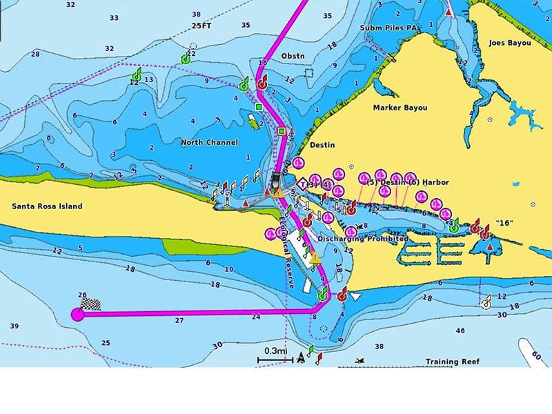
DEPTH RANGE SHADING
High-resolution depth range shading lets you select up to 10 color-shaded options and view your designated target depths at a glance
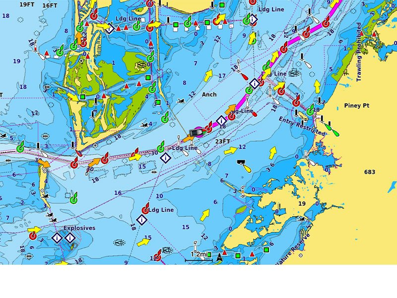
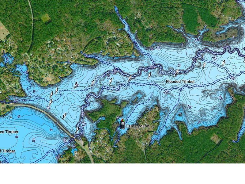
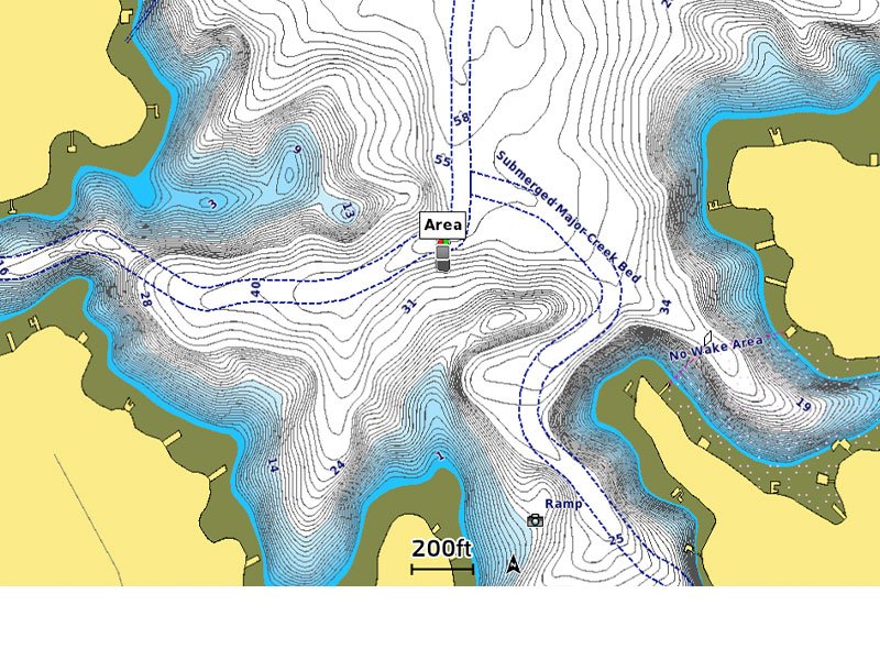
UP TO 1’ CONTOURS
For improved fishing and navigation, up to 1′ contours provide a clear depiction of bottom structure for improved fishing charts and enhanced detail in swamps, canals, harbors, marinas and more.
SHALLOW WATER SHADING
To give a clear picture of shallow waters to avoid, this feature allows for shading at a user-defined depth.
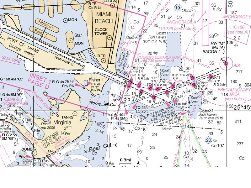
RASTER CARTOGRAPHY
NOAA raster cartography is available as a free downloadable feature via the ActiveCaptain app to provide paper chart-like views on your plotter.
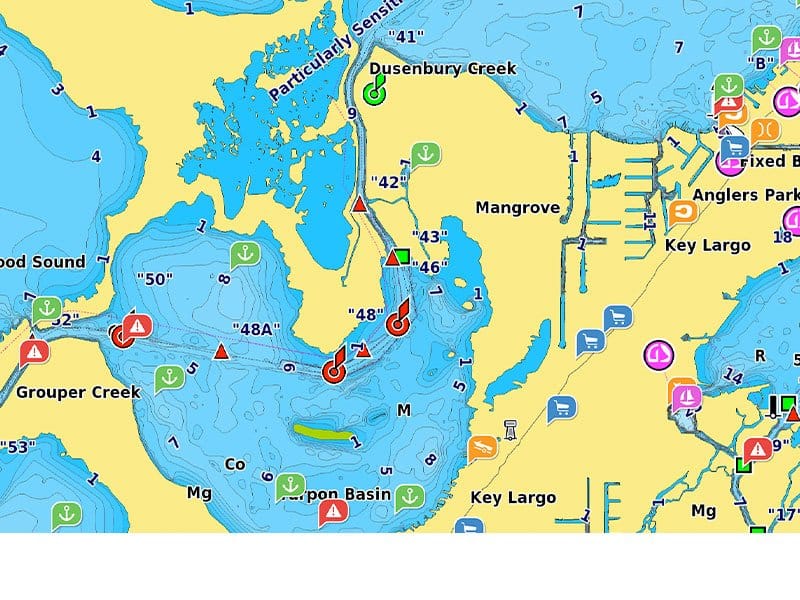
ACTIVECAPTAIN COMMUNITY
Community-sourced content provides useful POIs, such as marinas, anchorages, hazards, businesses and more. Get recommendations from boaters with firsthand experience of the local environment.
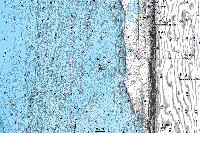
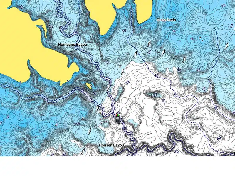
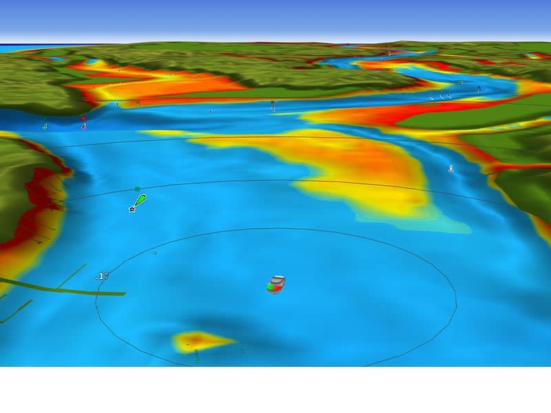
HIGH-RESOLUTION RELIEF SHADING
This detailed shading feature4 combines color and shadow to give you an easy-to-interpret, clearer view of bottom structure than contour lines alone.
SONAR IMAGERY
The sonar imagery feature reveals bottom hardness clearly and in contrasting color, highlighting both subtle and dramatic transition areas on select lakes.
HIGH-RESOLUTION SATELLITE IMAGERY
High-resolution satellite imagery provides superior situational awareness.
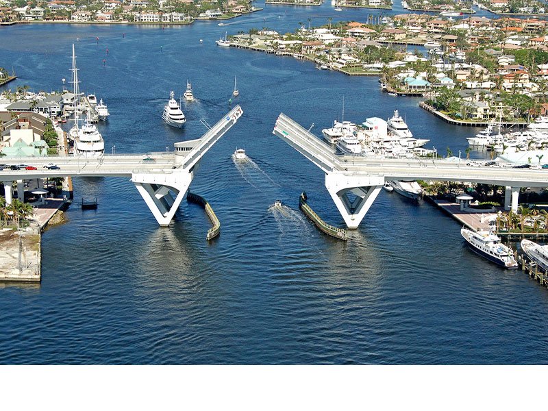
AERIAL PHOTOGRAPHY
Crystal-clear aerial and surface photos of ports, marinas, bridges, docks, boat ramps, dams and navigational landmarks provide a better sense of your surroundings above the waterline.
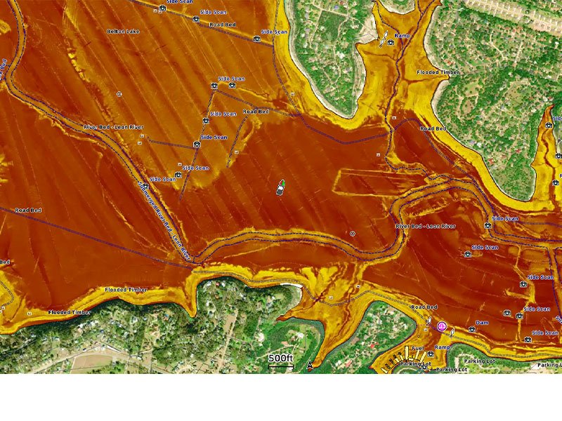
SIDE-SCAN IMAGES
Side-scan images capture submerged features such as fallen timber, fish attractors, wrecks, potential hazards and more on select U.S. lakes.
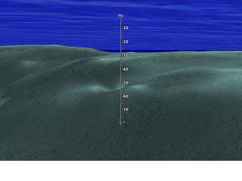
3D FISHEYE VIEW
This underwater perspective shows 3D representation of bottom and contours as seen from below the waterline. Interface with sonar data for a customized view.
3D MARINEREYE VIEW
This view provides a 3D representation of the surrounding area both above and below the waterline.
DYNAMIC LAKE LEVEL
Adjust your maps to the lake’s current water levels to see if spots are accessible or too shallow to explore.