
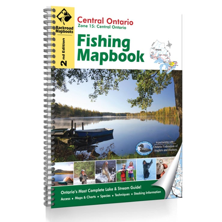
Description
Central Ontario Fishing: Lake & River Charts
Backroad Mapbooks’ Central Ontario Fishing Mapbook covers all of fishing zone 15 (central Ontario). The landscape that stretches from Parry Sound to Renfrew and encapsulates Algonquin Park thrives with some of Ontario’s best fishing waters. Here is a place where Ontario fishers go to get away from bigger cities like Peterborough, to immerse themselves in a wilderness paradise teeming with fish. Central Ontario boasts hundreds upon hundreds of fishing lakes, from Algonquin Park to the hidden spots around centres like Parry Sound and Haliburton. It is a part of Ontario where you can catch those big fish that you’ll be talking about for years, from walleye to lake trout and more.
The central Ontario fishing map book is the synthesis of Backroad Mapbooks’ leading backcountry maps with the fishing expertise of some Ontario’s most seasoned anglers. In it you will find a massive selection of Ontario fishing lakes, rivers and streams, including bathymetric (depth) lake charts and river maps, plus detailed descriptions of the fish species you will find in this part of Ontario and how to catch them. With other bits of insight that only years of fishing Ontario’s waters can tell you, this Ontario fishing map book is the one-stop fishing guide you need when heading out for a day or more to Ontario’s fishing havens. Brimming with fishing gems, your central Ontario fishing map book gets you to that perfect spot so you can reel in the prize.
FEATURES:
Fish Species
The waters of central Ontario are known for their trout, bass, muskellunge, panfish, walleye and others. It’s important to know what to expect when fishing the lakes, rivers and streams of central Ontario, so our central Ontario fishing map book breaks it all down for you. With detailed descriptions of central Ontario’s fish species, including photographs and fishing tips, your fishing map book gives you the helpful guide you need when heading out for a day of fishing.
Lakes & Bathymetric Charts
From the Arrowhead Lakes to Whitehead Lake, the 126 fishing lakes and rivers covered by your central Ontario fishing map book guide you through central Ontario’s renowned fishery. Each fishing lake and river receives a full-page description with bathymetric (depth) lake charts, river maps, descriptions, directions and access points. Like fishing with Ontario’s most seasoned and expert angler, we give you all the fishing info you need.
Fishing Tips & Techniques
Our central Ontario fishing map book details the lowdown on everything from bait fishing to ice fishing, jigging, trolling, fly fishing and more. We break down the best lures and flies you can find at your local Ontario tackle shop, a guide to proper fish releasing technique, and more. Let your central Ontario fishing map book be your expert fishing guide.
Index
A handy index makes the central Ontario fishing map book a leading Ontario fishing guide in terms of functionality as well as quality. You’ll find page numbers for each fishing lake and river, plus a list of important numbers for easy referencing.
Regional Cities/Parks: Algonquin Park, Arnprior, Bancroft, Bracebridge, Deep River, Gravenhurst, Haliburton, Huntsville, Minden, Parry Sound, Pembroke, Petawawa, Renfrew, Whitney, & more