

View all of our items that are on sale now
Shop Now

Recommended Products
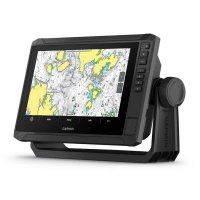
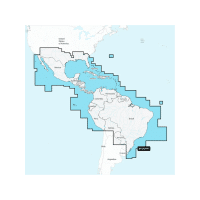
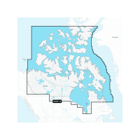
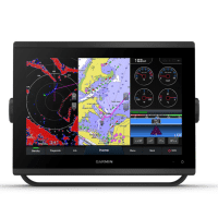
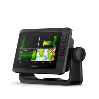
Garmin ECHOMAP UHD2 95sv with Garmin Navionics+ Canada & Alaska Mapping No Transducer
$1,299.99
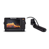
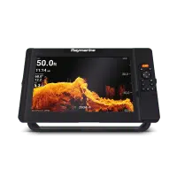
Raymarine Element 9 HV with HV-100 Transducer Navionics+ USA & Coastal Canada Charts
$1,269.95
Garmin ECHOMAP UHD2 95sv with GT56UHD-TM Transducer and Garmin Navionics+ Canada & Alaska Mapping
$1,499.99
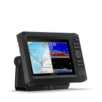
Garmin ECHOMAP UHD2 75cv with GT20-TM Transducer and Garmin Navionics+ Canada & Alaska Mapping
$689.99
Garmin ECHOMAP UHD2 65sv with GT54UHD-TM Transducer and Garmin Navionics+ Canada & Alaska Mapping
$1,039.99
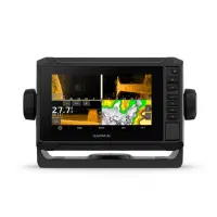
Garmin ECHOMAP UHD2 75sv with Transducer and Garmin Navionics+ Canada & Alaska Mapping
$1,189.99
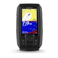
Garmin STRIKER Plus 4 Dual-Beam Transducer Fishfinder
$189.99
INFLATABLE VINYL BUOY
Tuff End buoys feature heavy duty seamless construction to meet the punishing demands of the commercial marine industry.
Learn More
HANDHELD GPS
Tuff End buoys feature heavy duty seamless construction to meet the punishing demands of the commercial marine industry.
Learn More
New Arrivals
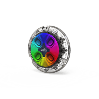
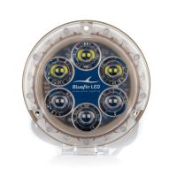
Bluefin LED Piranha P4 Underwater Boat Lights-Polymer
$234.50 – $471.00